
In the house, up the stairs
Author: Verstaen Mike, Founder, ex-military recon.
Pré-expedition oriëntation
Today I want to briefly walk you through one part of the O in our acronym, SORE. The O stands for Orientation. It's a component we deliberately build in before, during, and after our expeditions. Before our expeditions, it's mostly about the planning that leads up to it. You've decided to head out on one of our expeditions and you have a lot of questions. That's what our pre-expedition day is for. During this day, we walk all participants through the course of the expedition and already cover all the topics from the workshops that will come up during the trip.
We also provide a packing list for each expedition. These adjust as the level increases. For example, for a basic expedition we might recommend bringing plenty of backup gear, but at an intermediate or advanced level it's sometimes actually better to bring less equipment and adapt your challenges along the way to your gear or level of experience. If you have any specific questions, you can always reach us via WhatsApp.
This as far of the pratical pré-expedition part. Now i would like to share a story from myself, from the part when i worked for the military and the years after i left.
What i learned from being in a recon infantry platoon
Something I only noticed after quitting the military, and after quite a few sessions with my psychotherapist, was the lack of belonging.
The military gave me a big sense of purpose, almost on an existential level. They — the "military" — sometimes literally give you a message like "we are going to defend our country," for example during the periods when Belgium was hit by terrorist attacks. Imagine that message landing on a kid barely 20 years old. Imagine what that does to his sense of belonging, to his sense of contributing to his country. And imagine what it does to his ego, in a way.
I mention this because it's the biggest thing I struggled with in the years after I left. I lost my sense of belonging. Even now, with Sander, setting up this business — where we try to help or connect people who share similar values — feels like a big jump into uncertainty. But it feels good. It feels like the right jump, at the right time.
When I heard Belgium was floating the idea of a kind of voluntary service for young people, like I once was, it brought up different emotions in me. On one side, I felt a sense of understanding, of connection. For me as a young guy, the military saved me, in a way. I had almost no financial struggles during my time serving, and I always felt deeply connected to my fellow soldiers, my friends.
On the other hand, I have to say I also felt some criticism toward the idea. Because I think being in the military also makes you more distant from "normal society." You end up living in a kind of small society, with a lot of ego and a strong sense of meritocracy. Yes, we have that in civilian society too, in a way — but in the military it's more obvious, more outspoken.
What I did learn while training, though, is to start relying more on my own capabilities. A psychologist might call it a kind of avoidant attachment — but effective, in that context. I learned to navigate, to live, to find resources in remote areas.
Here's the thing, I'm not suggesting people should adopt these techniques literally — more that there's a subtle effect underneath them. What I've noticed, after many years, is that I know I'm capable, if it comes down to it. Something I think a lot of us have quietly lost.
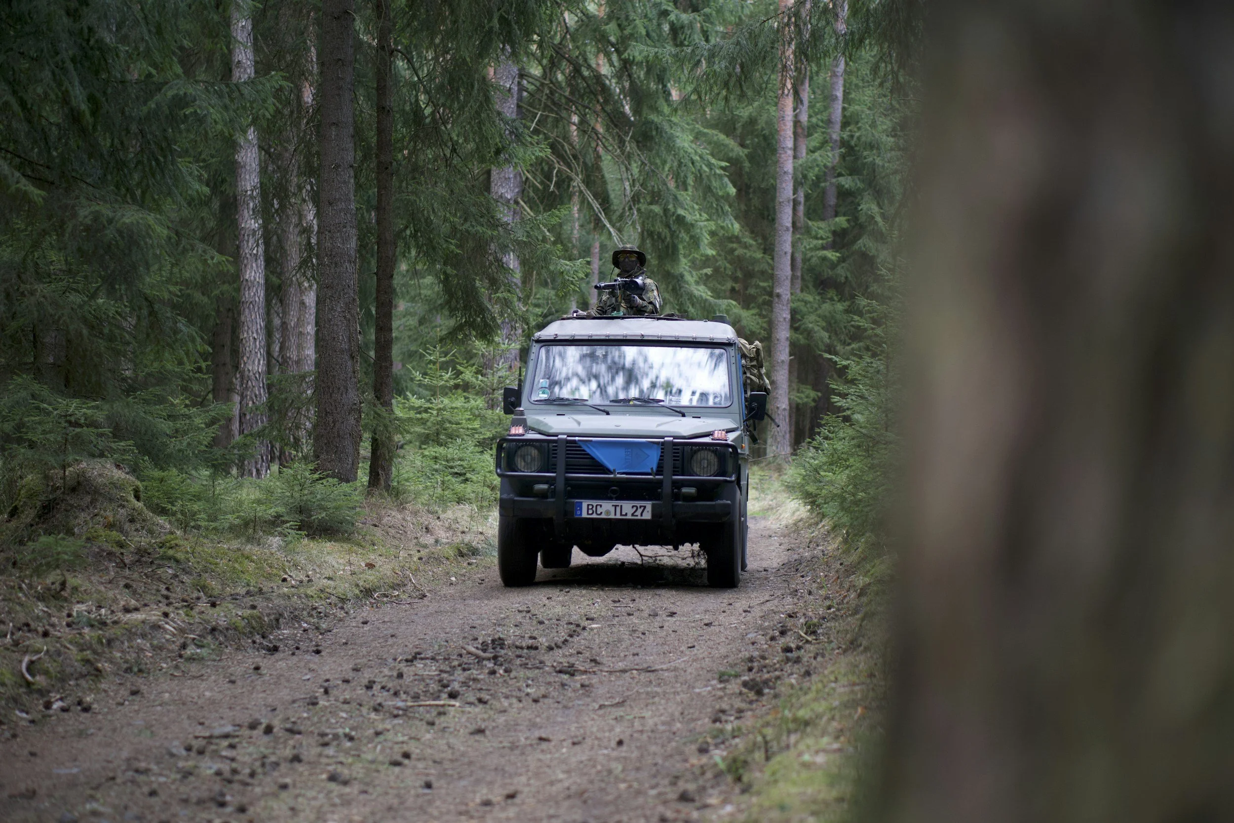
Oriëntation during the expedition
In our current lives, I think we've lost this skill, I'd guess most people have rarely, if ever, held a physical map and compass, or haven't in a very long time.
Yet it's a really important skill, if you ask me — not because we're doom-thinking about some hypothetical apocalypse or world war with a direct impact on us, but more because of the effect that mastering this skill has on you as an individual.
Looking at myself, after nearly ten years working in an infantry platoon — where navigation is often central — I can say this translates into how I approach life now. It's as if I carry a certain peace of mind, knowing I can rely on myself and on my skills.
The effect of preparation.
These days it's easy — you invest a few hundred euros and you already have a perfectly good GPS in your pocket. It's great that these things exist, but personally I always find it fun and useful to keep challenging my skills rather than blindly relying on technology. Hence the old-school map and compass. Preparing yourself and studying your map beforehand is an important part of this — it can boost your sense of confidence even though you're heading into a completely new environment. You learn to work with contour lines and try to recognize them in the landscape with the naked eye.
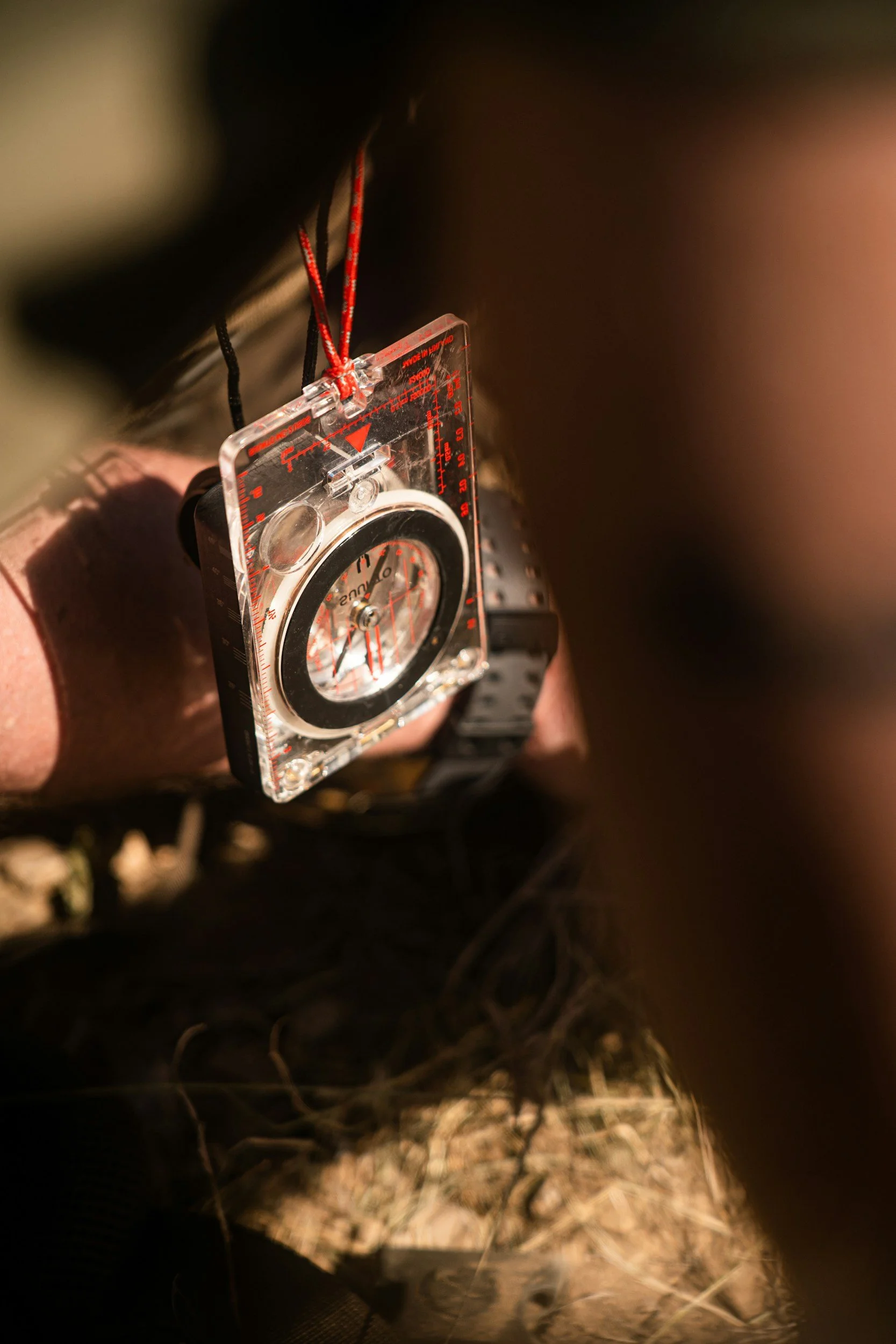
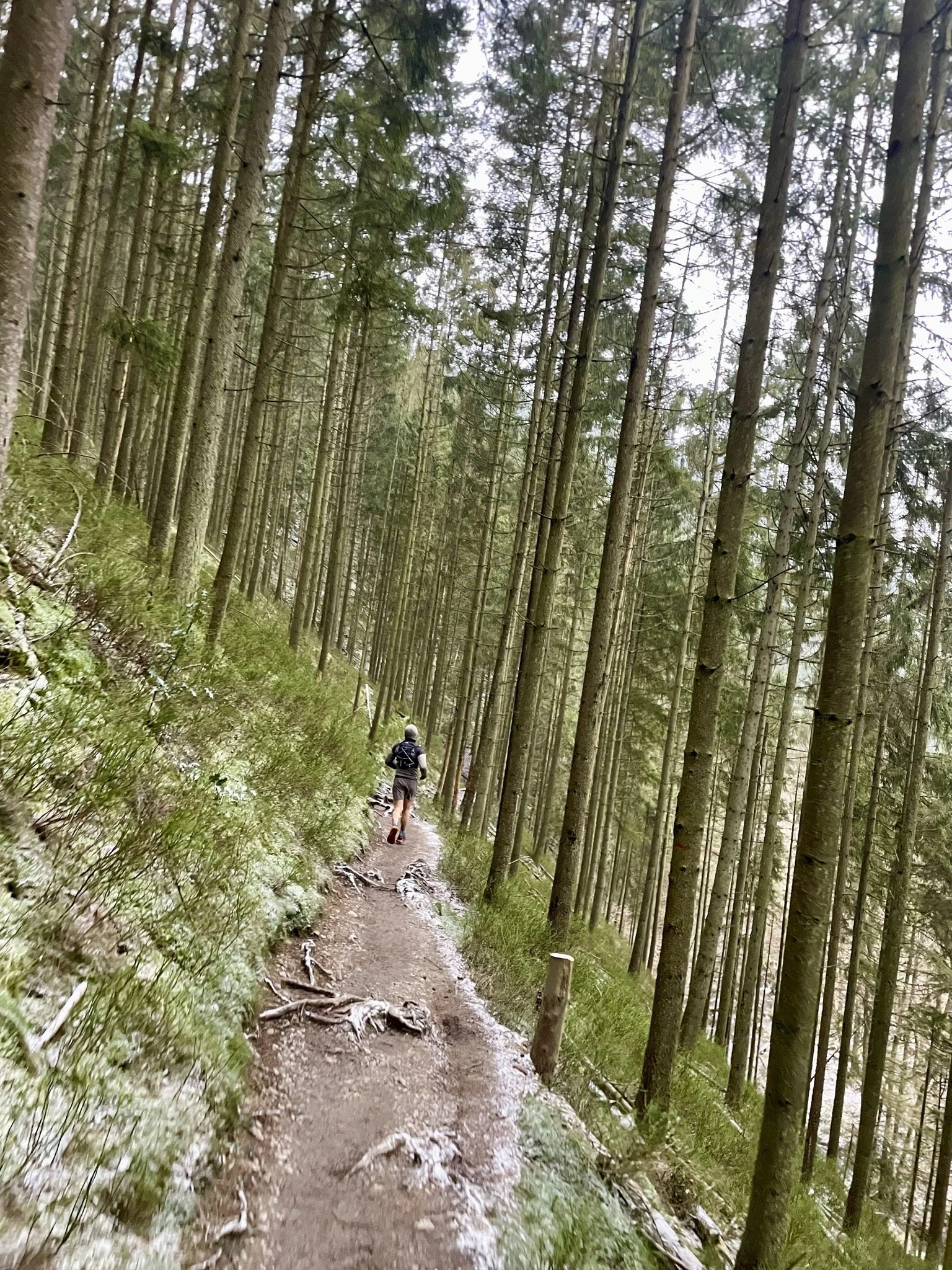
Oriëntation cross in Ardennes, Belgium ‘24
Step one: counting your steps.
An important task you can do first, and one that might seem a bit unusual, is counting your steps. Find an open area where you can walk at least 100 meters. Tip: use a smartwatch, which you probably already have, or a pedometer, or — old-school and even better — a tape measure!
It's important to roughly know how many single or double steps you need to cover 100 meters. Single steps means counting every foot that touches the ground, and double steps means counting every second one. Remember this number for the future. For example, if you ever want to navigate to a specific point on your map and you know it's 500 meters away, you can stop every hundred meters to check you're still walking in the right direction — as I've mentioned before in the free PDF: slow is smooth, and smooth is fast.
The map
First of all, I can already say that most maps used are topographic and two-dimensional. For an expedition, these work best because they show a lot of distinctive landscape features, such as rivers, roads, built-up areas, and forests. On top of that, contour lines are extremely useful once you learn how to read them.
Also make sure to check the legend now and then if you're not sure what a particular symbol stands for.
Calculating distances.
It's important to be able to roughly estimate how long you'll need to walk to reach a certain point. This becomes especially important once you need to manage your energy more conservatively. Use the grid lines for this. Say you have a map with a scale of 1:25,000 — then you know two things: every centimeter equals 250 meters, and every square centimeter equals 1 square kilometer.
A piece of string can sometimes come in handy here, since it lets you measure out a route precisely, which you can then lay alongside the measuring scale on your compass to find the true distance. Say you measure 3 centimeters of string along your route — then on a map with a scale of 1:25,000, you know you'll be walking 750 meters. This isn't strictly necessary, but it makes things more precise. I usually just use the ruler on my compass and estimate a bit.
The compass
This will definitely be covered in enough detail, both during the pre-expedition day and during our workshops out on expedition!
There are several types of compasses available: a basic model, a sighting compass, a prismatic compass, and a baseplate (orienteering) compass — I usually use the last one. It's also the most suitable for expeditions, since you can do everything you need with it, including measuring distances on a map, which isn't possible with some of the other types.
Your compass has a magnetic needle, so it points to magnetic north and south when it can move freely — always use your compass horizontally. This lets you take more accurate bearings. Also keep in mind that in some areas there may be metal in the ground, which can disrupt your orientation. Other possible sources of interference include buildings, magnetic objects, or power poles.
The cardinal directions — you probably already know these, but the degrees might still be useful. North is marked by 0 degrees or 360 degrees, east by 90 degrees, west by 270 degrees, and south by 180 degrees.
Reading coordinates
The military uses MGRS coordinates, which stands for Military Grid Reference System. Once you know how, these are easy to use and work anywhere in the world. Often 8 digits are given instead of ten. These indicate a location accurately to within about ten meters.
31U ES 9434 3899
31: the UTM zone
U: the latitude band
ES: the 100km grid zone
9434: the easting line, read off to the right
3899: the northing line, read off upward
Handy tip: in a house, you first move horizontally, then up the stairs — so first across, then up.
It all becomes much clearer in practice!
Map bearing and azimuth
Two important aspects, if you ask me — something I used a lot both in the army and on my own expeditions. It's also just genuinely fun to do, in my opinion. With a map bearing, you pick a point on the map you want to head to, and by using your compass and its lines, you determine exactly how many degrees, and in which direction, that point lies. Taking an azimuth works roughly the same way, but with a real-world point instead: you point your compass toward the point and line up the lines on your compass. It's useful to combine both, since your map also tells you roughly how far away your point is — and that's where your steps per hundred meters come in too, so you can check your progress along the way until you reach your point!
Leopoldsburg ‘14